White Earth is a city of 291 in Mountrail County, about 40 miles east of downtown Williston · Updated November 2026
How common is property crime in White Earth?
Property crime is low in White Earth: an A+, safer than the neighborhoods where 99% of Americans live. Theft makes up 34% of it. Burglary, the crime most likely to reach into a home, grades A+, and vehicle theft grades A+.
A+
Property crime CrimeGrade™
Safety score 991 of 1,000Less property crime than nearly all US neighborhoodsi What this means
99% of Americans live in neighborhoods with more property crime than White Earth as a whole, and 1% in neighborhoods with less. The typical US neighborhood has a property crime safety score of 823, a CrimeGrade™ of A-. White Earth scores 991.
Crime is concentrated in a small share of places, so most neighborhoods score high on the 0 to 1,000 scale. That is why a score in the 800s can still mean more property crime than most US neighborhoods.
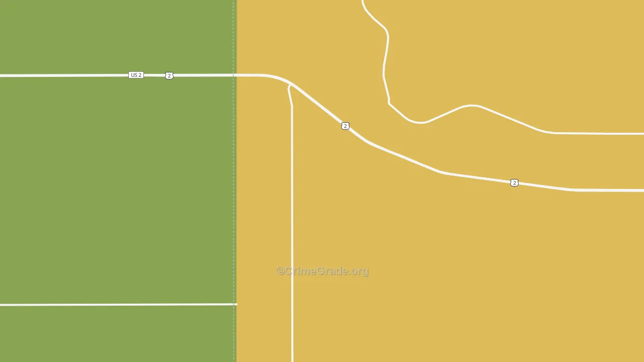
How to read the map: each area's color compares its property crime with the homes, parked cars and people there, on one national scale, from green for the least to red for the most. Each area gets its own color, so a busy shopping center can show red while the homes beside it stay green. The interactive maps load faster on a strong connection. Compare high speed internet in White Earth, ND at ISP Reports.
Who this page is for: homeowners and renters in White Earth, and anyone thinking about buying or renting a home there.
Business and enterprise customers: this free map shows neighborhood areas. CrimeGrade™ business reports map crime at about 66-meter detail and estimate it for one address and type of business. See business reports
Property crime rates and types in White Earth
CrimeGrade™ estimates White Earth has about 32 reported property crimes a year for every 1,000 residents, 36% more than the US as a whole and 37% more than North Dakota.
All property crime
Burglary
Vehicle theft
Reported crimes a year, per 1,000 residents. Property crime here includes vandalism, which the FBI's property crime rate leaves out.
Theft is the most common property crime in White Earth, about 34% of the total, followed by vandalism and burglary.
Each CrimeGrade™ here compares a property crime with what it affects: homes for burglary and arson, parked cars for vehicle theft, people and parking for theft, homes and businesses for vandalism. Rates count crimes per 1,000 residents.
Select a crime's name to see its map above. CrimeGrade™ business reports map each crime at about 66-meter detail.
Where and when property crime happens in White Earth
The Mountrail County Sheriff's Office polices White Earth, and these figures cover every place it serves, 2022 to 2024.
Crime
Most often at
Busiest time
Vandalism
Homes (43%)
Afternoon (noon to 6 pm)
Shares of the crimes reported to police, 2022 to 2024. Reports with no time recorded are left out of the times.
Property crime in White Earth and nearby cities
White Earth has less property crime than 6 of its 10 nearest cities.
Nearest first, with each place's distance from White Earth. Beside each property crime CrimeGrade™ is its safety score, from 0 to 1,000 (higher is safer).
Compared with cities of similar size and density, White Earth is safer than 82% of them.
Property crime costs White Earth about $86,000 a year, or $297 per resident and about $939 per household: the value of what is stolen or damaged, plus the police, courts and prisons that respond.
Cost of property crime per resident, per year
How the cost breaks down
Pain and suffering add little to the cost of property crime, so this is close to its full cost.
Crime
Cost a year
Per resident
Burglary
$12,000
$40
Theft
$16,000
$56
Vehicle theft
$13,000
$46
Arson
$23,000
$79
Vandalism
$22,000
$77
Total
$86,000
$297
How CrimeGrade™ works
The property crime CrimeGrade™ covers burglary, theft, car theft, arson and vandalism, from A+ for the least crime to F for the most, on one scale for the whole country.
It weighs each property crime against what it affects: homes for burglary and arson, parked cars for car theft, and the people and parking around stores for theft.
The rates on this page count crimes for every 1,000 people who live here, the way police departments report them. White Earth is a good example: many people work in, shop in or visit it, so its crime per resident looks worse than its CrimeGrade™ suggests.
Comparisons with US neighborhoods use the Census Bureau's block groups, small areas of about 1,400 residents, and count the people who live in each. The figures count crimes reported to police; many crimes, shoplifting above all, never are. Behind the grades, CrimeGrade™ tested 21,607 factors from 125 data families. For business owners, paid CrimeGrade™ location reports estimate crime at a single address for each type of business.
Where the numbers come from
Crime reports that police departments file with the FBI
State crime records and city crime data, where they are published
Published research on what crime costs victims and communities
These are estimates of reported crime for whole areas, not a record of what happened on any one street. CrimeGrade™ updates them once a year and provides them free and without guarantee. Check local sources before you rely on them for a decision.